Home
GetPic

User account menu

  • Log in
  • English
  • Russian
  • Испанский

Welcome to the collection of images dedicated to city maps! If you are looking for detailed and informative photographs of urban maps, you have come to the right place. Here, you will find high-quality images of maps from various cities that can be used completely free of charge.

A city map is not just a means of navigation, but a true encyclopedia of the urban landscape, reflecting the atmosphere and architectural features of each area. Our collection features maps that cover a wide geography: from sprawling metropolises to small cozy towns. You can see elements such as streets, squares, parks, and bodies of water; important landmarks are marked — museums, theaters, historical monuments, and administrative buildings.

Suitable for use in various contexts, city maps demonstrate the unique features of urban environmental structuring. Some photographs may show maps with markings that reveal public transport routes, which are great for planning trips.

Explore every corner of the city with our images! Whether you are studying your homeland or planning a trip to a new place, in this collection, you will find maps that help you better understand and visualize urban space. Studying maps is a journey through streets, squares, and parks, allowing you to discover hidden corners and local attractions that are not always visible on traditional tourist routes.

We hope that our photographs of city maps will inspire you for new discoveries and travels, and also help you get acquainted with the unique urban architecture and culture inherent to each settlement.

City Map

Miniature map of Kyiv featuring the city's main attractions
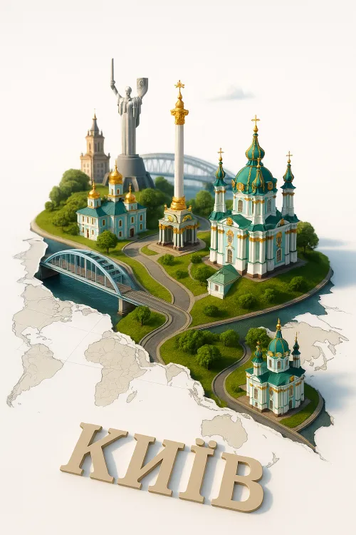
Kyiv: Architectural Landmarks in Miniature
Image of Prague showcasing key architectural landmarks and historical buildings
Magical Prague: Attractions and Architecture of the Czech Republic