Skip to main content
Geodesy
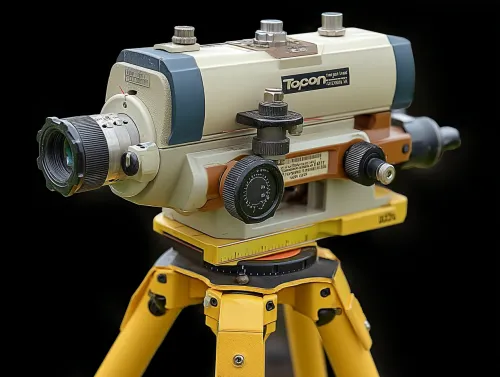
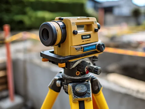
Topcon Laser Level
Precise Leveling Instrument for Construction Works