Skip to main content
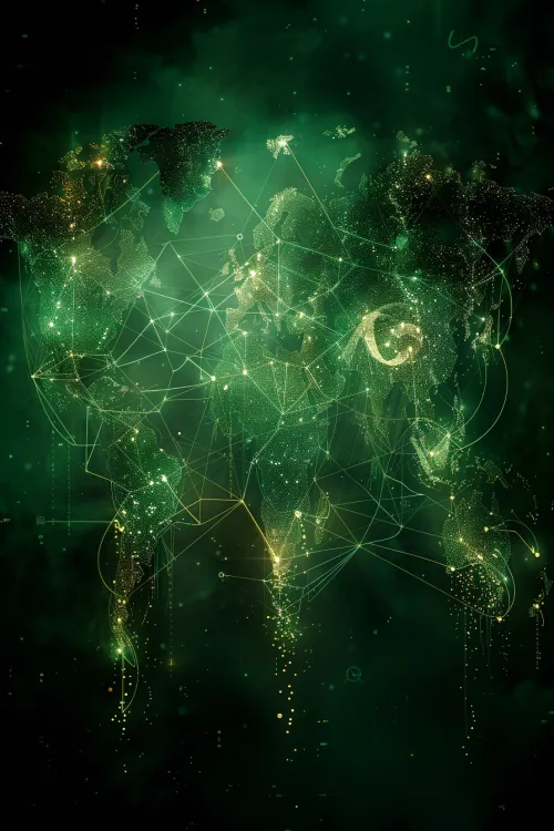
Global Map
Global Map with Network Connections