Skip to main content
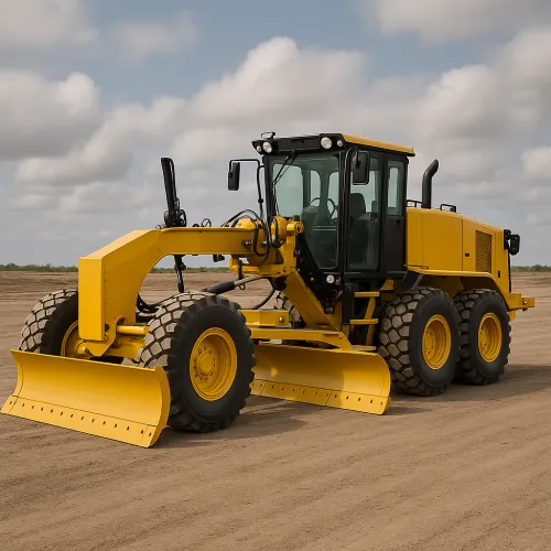
Land Leveling
Modern Grader at Construction Site