Home
GetPic

User account menu

  • Log in
  • English
  • Russian
  • Испанский

Welcome to the collection of images dedicated to maps of Ukraine! This unique territory, located in the heart of Europe, is multifaceted and diverse. The map of Ukraine provides detailed information about the geographical, cultural, and historical features of the country.

Explore the fascinating outlines depicting the borders of regions, from the picturesque Carpathians in the west to the vast steppes in the east. Each of the regions, from Lviv to Transcarpathia, is filled with unique landscapes, natural resources, and cultural monuments. Delving into the details, one can discover rivers such as the Dnieper and the Danube, which not only shape the geography but also play a significant role in the life and economy of the region.

On our platform, you will also find maps reflecting important transportation arteries, including railways and highways that connect many cities, from Kyiv to Odesa. These routes help connect different cultures and traditions, making each region of the country unique.

Our collection of maps covers various historical periods and changes, allowing for the tracing of the evolution of territorial division and urban planning. Architectural monuments and historical sites, such as ancient fortresses and churches, are also reflected on cartographic images, highlighting Ukraine's rich history.

Seasonal changes and natural phenomena, such as forests, fields, and lakes, add additional context. Our collection of maps of Ukraine provides visual information about natural diversity, including unique reserves and national parks that are real treasures of the landscape.

We invite you to immerse yourself in the world of geographical information and cultural heritage of Ukraine, using our maps for exploration and inspiration.

Map of Ukraine

Model of the city of Kyiv with famous buildings of Ukraine and a map
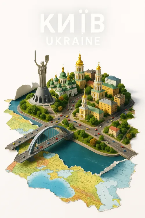
Kyiv: A Model of the Capital of Ukraine with Architectural Landmarks