Home
GetPic

User account menu

  • Log in
  • English
  • Russian
  • Испанский

Welcome to the exciting world of online maps, which open up unlimited horizons for geographical exploration! Online maps are digital tools that allow you to visually represent and explore territories in a convenient and accessible format. In this collection, you will find images of interfaces and data types related to popular mapping services.

Online maps enable users to access a variety of location information. These can be physical maps that reflect the terrain, indicating mountains, rivers, forests, and other natural features. Additionally, thematic maps are available, showcasing aspects of human activity such as settlements, routes, transport hubs, and infrastructure.

Users can interact with the maps, zoom in and out, move across the territory, and select different layers with additional information. Television and satellite images allow seeing objects from above, providing a chance to evaluate their scale and spatial relationships. Observe changes in the landscape, whether it’s urban development, construction of new roads, or restoration of natural areas.

Online maps are useful not only for tourists but also for researchers, planners, and specialists in various fields. They help find optimal routes, study the region's nature, analyze data about existing infrastructure, and plan new construction projects. Furthermore, modern maps can display dynamic data, such as weather forecasts, traffic congestion, or even population statistics.

Take advantage of our extensive catalog of images to gain insight into how online maps transform our approach to understanding space. They are becoming an integral part of our daily lives, offering ease of navigation and extensive opportunities for exploring the surrounding environment.

Online Maps

3D model of Ottawa's buildings against the world map
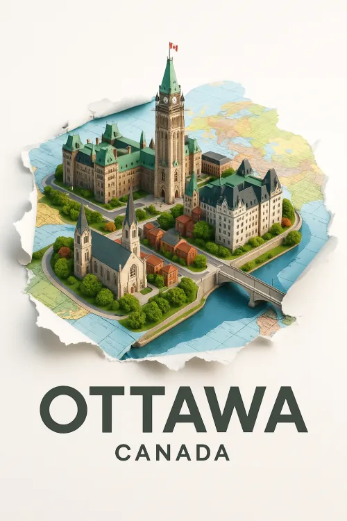
Beautiful model of Ottawa, the capital of Canada