Home
GetPic

User account menu

  • Log in
  • English
  • Russian
  • Испанский

Welcome to the world of remote sensing — a technology that opens new horizons in studying our planet! These images demonstrate unique aspects of the surrounding world, gathering data using satellites, unmanned aerial vehicles, and other methods to provide valuable information about the state of ecosystems, cities, and agricultural lands. Remote sensing plays a key role in scientific research, resource management, and monitoring climate change.

Physical Characteristics

Photographs taken using remote sensing can range from detailed shots of land parcels to wide landscapes covering large areas. With high resolutions, images can show changes in terrain such as erosion processes, floods, or glaciers, while also highlighting infrastructure elements like roads, buildings, and water supply networks.

Environment

Remote sensing encompasses a variety of ecosystems, including forests, water bodies, mountains, and deserts. It allows the exploration of both natural and anthropogenic changes, providing information about the state of biomes, animal populations, and vegetation. Agricultural data can show the distribution of crops, harvest outcomes, and soil conditions, which is extremely useful for agronomists and biologists.

Typical Forms and Natural Features

Images obtained through remote sensing may include maps of land use changes, measurements of surface temperature, and analysis of salt concentrations in water bodies. This data helps assess environmental quality and make informed decisions for nature conservation.

Seasonal Variations

The ability to conduct observations at different times of the year makes remote sensing particularly valuable for studying seasonal changes. It allows tracking how climate change affects flowering cycles, animal migrations, or water levels in rivers. This opens up opportunities for a deeper understanding of interconnections within ecosystems.

The collection of images dedicated to remote sensing offers rich visual data and opens access to limitless opportunities for research and analysis. These images are more relevant than ever for scientists, students, and anyone interested in nature and science.

Remote Sensing

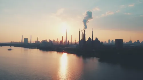
City Horizon at Sunset