Home
GetPic

User account menu

  • Log in
  • English
  • Russian
  • Испанский

Welcome to the image collection dedicated to satellite images! If you are looking for unique and detailed photographs of our planet, you have come to the right place. Here you will find high-quality satellite images that are completely free to use. Our images cover a variety of regions and ecosystems, allowing you to view the earth from a bird's-eye perspective.

Satellite images represent captivating details of geography and terrain: from vast oceans to mountain peaks, from blooming meadows to desolate landscapes. You will be able to explore different climate zones and regional resources, including snow caps and tropical forests, which change their shapes and color palettes depending on the season.

In this collection, you will find images that showcase urban agglomerations with their complex infrastructure, extensive agricultural lands, as well as nature reserves where unique biodiversity is preserved. Satellite images allow you to see the movement of rivers, the intricacy of road networks, and the distribution of populations, opening new horizons for exploration and analysis.

Don’t miss the opportunity to use satellite images in your projects, research, or educational activities. They are an incredible tool for geographers, ecologists, planners, and anyone interested in our planet!

Satellite Images

Image of Earth surrounded by stars and cosmic space
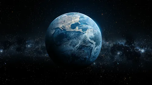
Earth in Space: A View from the Depths of the Universe