Skip to main content
Cartography
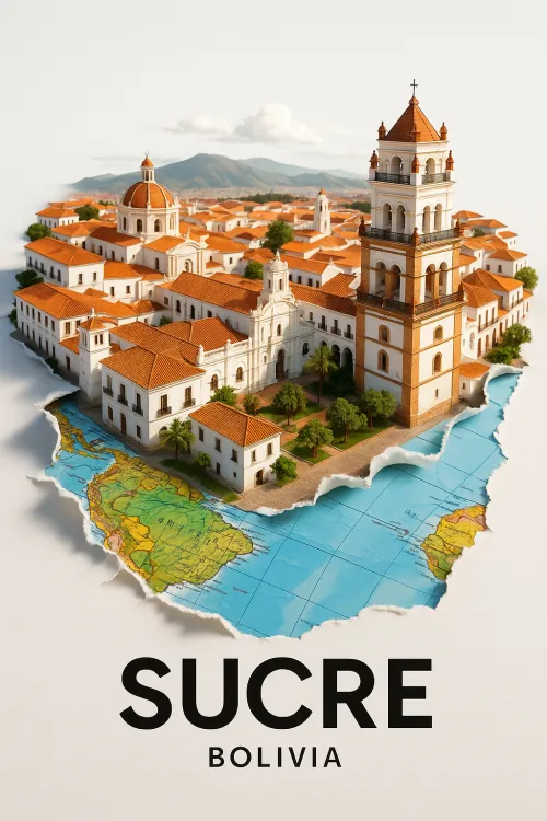
Model of the city of Sucre in Bolivia on the map
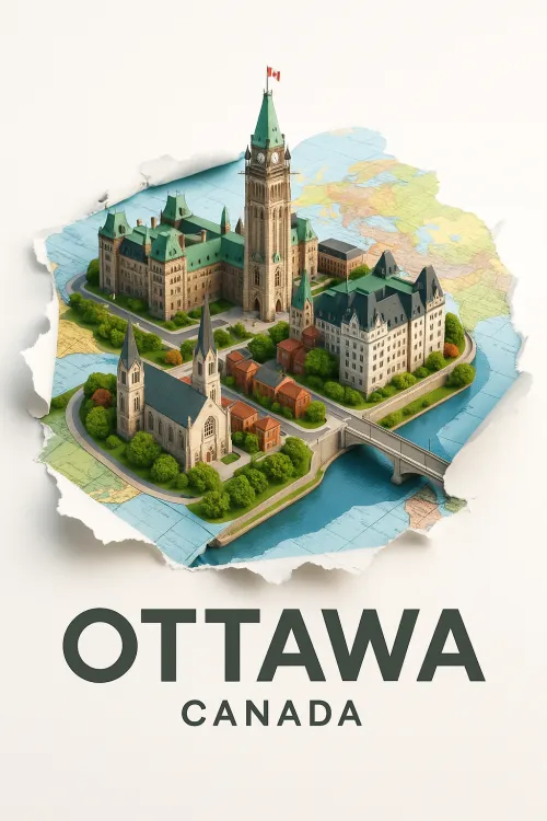
Beautiful model of Ottawa, the capital of Canada
Data Analysis in a High-Tech Modern Office
Beautiful wax seal in the shape of a crown on paper
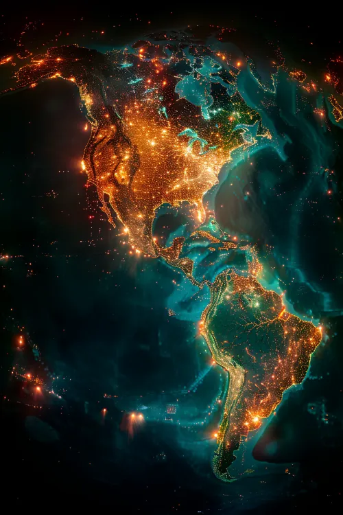
Light Pollution on the Map of America from Space
A person interacting with a glowing digital data map
Origami Paper Boat on the World Map
Topcon Laser Level
Employees at a Production Meeting