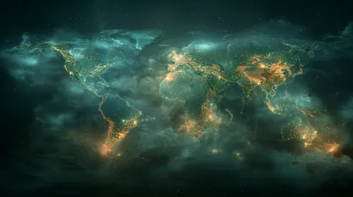
Light Pollution on the Map of America from Space
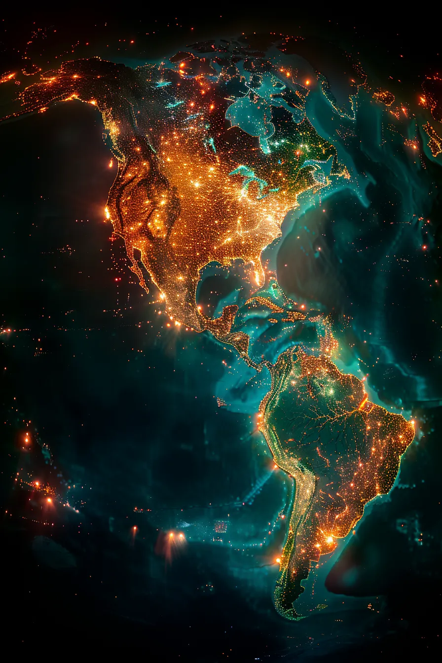
The image depicts a view of the map of North and South America, taken from space at night. The bright light points represent populated areas, roads, and other sources of light. Major cities such as New York, Los Angeles, Tokyo, and others stand out with their brightness against the dark sky. Underwater currents and the outlines of the land add additional visual interest, creating a sense of dynamism and depth.
This image can be used in various contexts, including scientific articles, presentations, educational materials, and advertising projects related to geography, ecology, or the tourism industry. It effectively illustrates the distribution of the population in the countries of the continent and highlights the impact of humanity on the environment through nighttime lighting. It can also be used to compare the levels of urbanization across different regions.


