Skip to main content
Geography
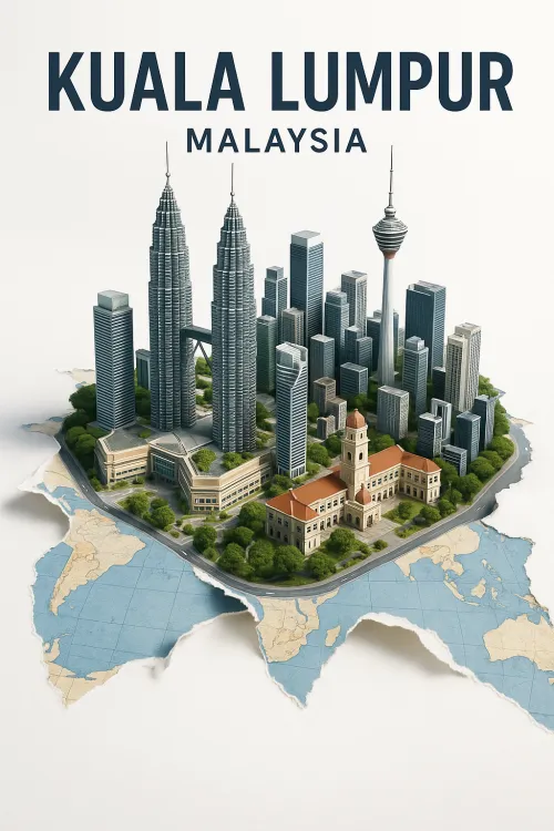
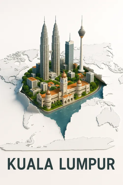
Kuala Lumpur: Architectural Achievements of Malaysia
Miniature Model of Kuala Lumpur Buildings on the Map
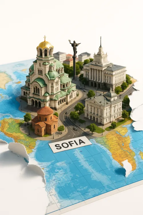
Model of the City of Sofia on the Map of Europe
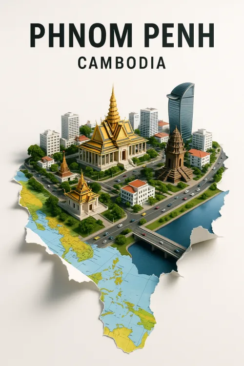
Model of Phnom Penh: Architectural Features of Cambodia
Model of Sofia on the World Map
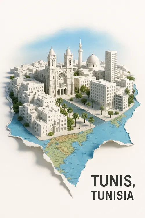
Map of Tunisia with Capital Attractions
Washington Model with World Map
3D Cityscapes of San Francisco
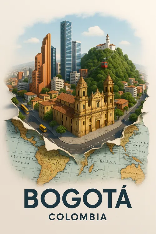
Beautiful illustration of the city of Bogotá, Colombia
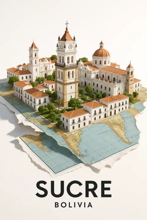
Model of the city of Sucre in Bolivia on the map
Model of the Historic Center of Sucre, Bolivia
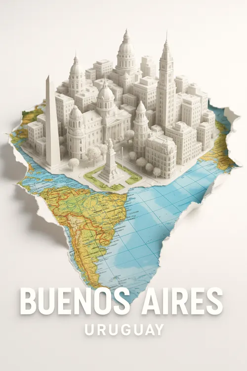
Architectural Model of Buenos Aires on the Map of Uruguay
Santiago: The City in the Heart of Chile
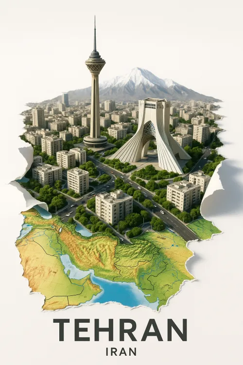
View of Tehran with its Famous Landmarks
Model of Barcelona on the World Map
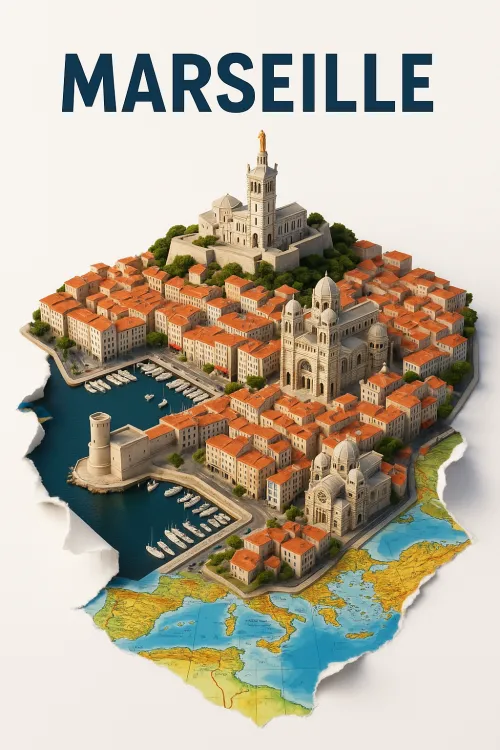
Model of the city of Marseille with a seaside and architecture
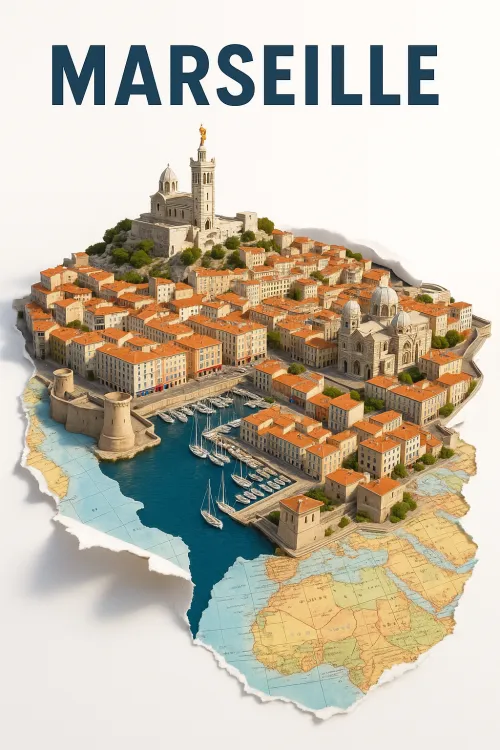
3D Model of Marseille with Architectural Details and Port
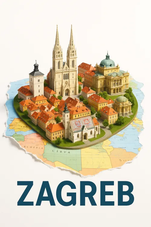
Model of Zagreb on the Background Map
Miniature of Warsaw with Landmarks
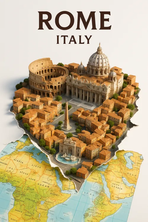
Model of Rome with Map of Italy
Here you may place your ADS.
Center of Havana on the map of Cuba
Model of Havana: Architecture and Map of Cuba
Berlin Model with Famous Landmarks
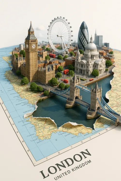
Model of London on the Map of Great Britain
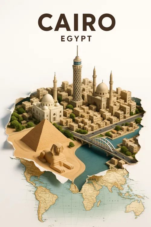
Cairo: The City of Ancient Wonders and Modern Architecture
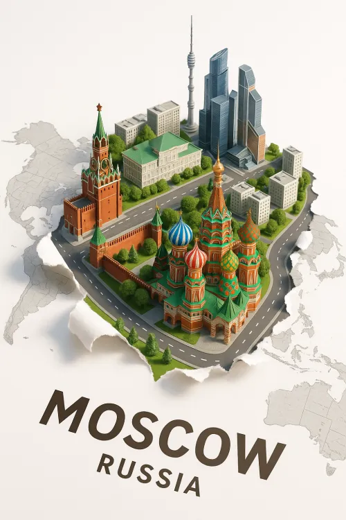
Moscow Architecture: Historical and Modern Buildings
Modern Moscow: A Fusion of History and Technology
3D Model of New York Against the World Map
Glowing Lines and Outlines of the Map of America
Light Pollution on the Map of America from Space
Globe with Elements of Digital Technology and Light
Earth with Green Forests and Water Spaces
Pagination
More