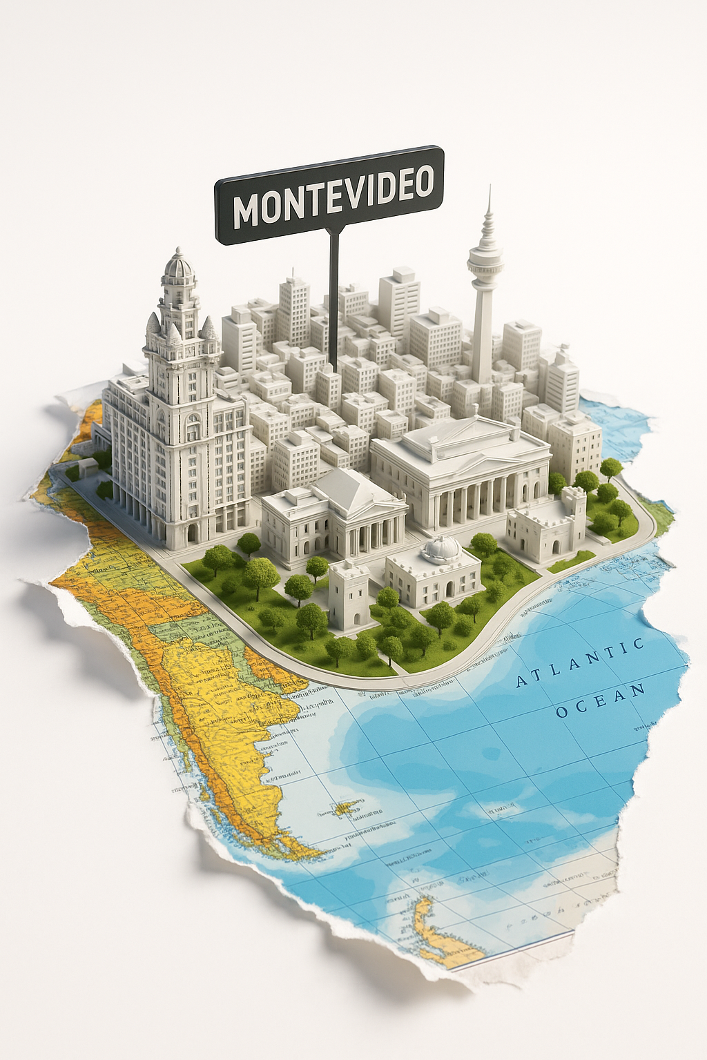
3D Model of Montevideo City on a Geographic Map

The image represents a three-dimensional model of the city of Montevideo, located on a contour map of South America. The picture shows Montevideo depicted as miniature buildings and structures, among which prominent and well-known sites, such as architectural monuments and modern buildings, stand out. In the background of the map, the ocean and part of the continent can be seen, which helps to better visualize the geographical location of the city. Roads and green spaces are also illustrated, making the image more realistic.
This illustration can be used in various contexts, including educational materials for studying geography and architecture of Montevideo, as well as in tourist brochures and websites dedicated to Uruguay. The image may draw attention to the culture and attractions of the city, helping viewers visualize its unique architecture and location. Additionally, this format can be useful in promotional materials related to travel or investment in real estate in the region.


