Home
GetPic

User account menu

  • Log in
  • English
  • Russian
  • Испанский

A geographic map is an important tool that represents a simplified depiction of the Earth's surface and its features. It conveys not only physical but also cultural, economic, and political aspects of a territory. With it, one can study geographic coordinates, relief, water resources, climate zones, and population.

In our collection, you will find a variety of geographic maps, each illustrating unique aspects of this complex and multifaceted tool. From detailed political maps that show the borders of states and administrative divisions to topographic maps that display the contours of elevations, rivers, and lakes.

Physical Characteristics

Geographic maps often depict the physical characteristics of the terrain: mountains, valleys, plains, and water bodies. These landscape elements provide insight into the natural resources and geological features of the region. Maps can demonstrate relief in the form of contour lines showing elevation above sea level and slope declines.

Ecological and Meteorological Aspects

You will also find maps that display climate and ecological zones, helping to explore biodiversity and the distribution of natural resources. Ecological maps illustrate the impact of human activity on the environment, while meteorological maps show climatic conditions such as temperatures and precipitation levels.

Historical Contexts

Historical maps will help you immerse yourself in the past, showcasing changes in borders, population, and land use over the centuries. They may include significant events such as wars and migrations, representing a dynamic picture of the world's transformation.

Geographic maps are not just a navigation tool but a true reflection of history, culture, and relationships between different regions. Discover this amazing world through our collection of geographic map images!

Geographic Map

Detailed miniature of the famous buildings of Washington
Miniature of Washington on the World Map
3D map of Los Angeles with famous landmarks
Model of Los Angeles on the World Map
Three-dimensional model of Montevideo with labels on the map of South America
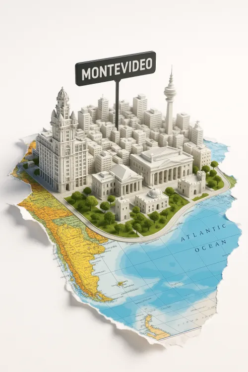
3D Model of Montevideo City on a Geographic Map
Three-dimensional model of Luxor with monuments and map
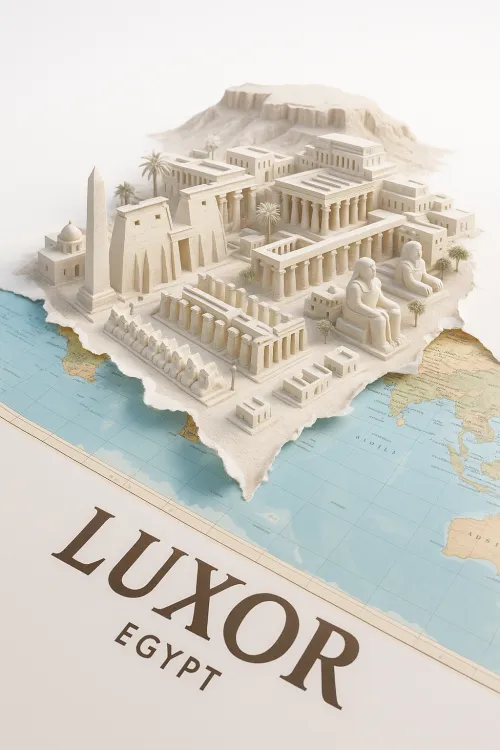
Model of the Historical City of Luxor in Egypt
Miniature Model of Prague with Historical Buildings and River
Festive View of Prague with Historical Buildings