Home
GetPic

User account menu

  • Log in
  • English
  • Russian
  • Испанский

A digital map is a dynamic and multifunctional tool that represents an electronic depiction of geographic information. Unlike paper counterparts, digital maps can embed extensive data, allowing one to see not only the topography of the area but also its socio-economic structure, ecological condition, and cultural features.

Functions and Features of Digital Maps

Digital maps can contain the location of objects – from cities and roads to natural resources and protected areas. They provide access to information about the population, level of economic development, and the state of infrastructure. They can also display climate data, vegetation, and land resources, making them a valuable resource for various research and planning.

Types of Digital Maps

There are many types of digital maps, including topographic, political, thematic, and climate maps. Each can be used according to specific needs. For instance, topographic maps provide information about the elevation of the terrain, while thematic maps may focus on specific information, such as the distribution of population or natural resources.

Application of Digital Maps

Digital maps find their application in a wide range of fields: from geography and ecology to urban planning and the tourism industry. In the era of big data, they become an essential tool for analysts, researchers, and entrepreneurs, enabling informed decisions based on visualized information.

Technologies and Tools

Modern technologies, such as GIS (Geographic Information Systems), allow the creation of interactive maps that can respond to user queries. Such maps can include various levels of detail, data filtering, and the ability to add user-generated information.

A digital map is not just an image of the terrain; it is a whole ecosystem of data that provides an opportunity to understand the world around us more deeply and influences the activities of people, organizations, and states.

Digital Map

An image of a person touching a glowing digital map with data and graphics
A person interacting with a glowing digital data map
Illustration of a digital map of the planet with neural network connections
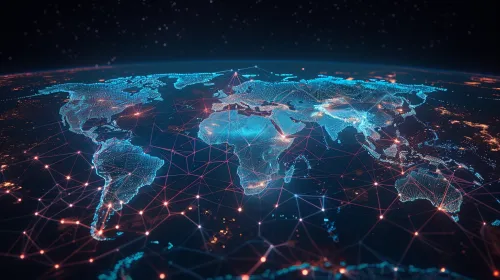
Digital World Map with Network Connections