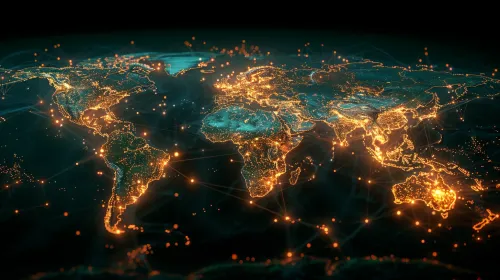
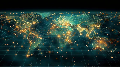
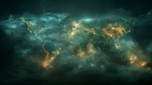
Digital World Map with Network Connections

The image features a digital map of Earth with various network connections displayed as bright dots and lines. The visualization illustrates how different continents and countries are interconnected, creating an extensive network. Blue, purple, and red colors emphasize the volume of information and interactions occurring on the planet. In the background of the map, stars create a sense of depth in space.
This picture illustrates a modern approach to visualizing data about global interaction and communication. Sharp lines and bright dots represent active locations where data exchanges occur, such as internet connections and mobile networks.
The image can be used in various fields: in educational materials to illustrate concepts of globalization and technology, in marketing materials for companies operating in the communication or technology sectors, as well as on websites or in presentations to visualize data about the global community. Due to its appealing graphics, this illustration can attract attention and spark interest in the topic.


