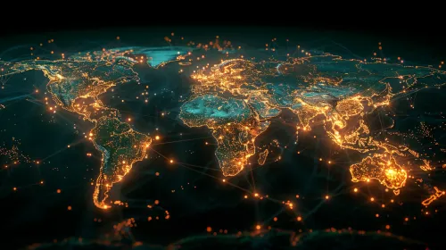
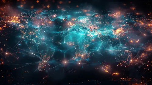
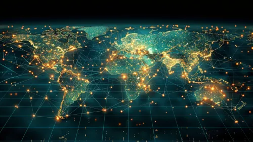
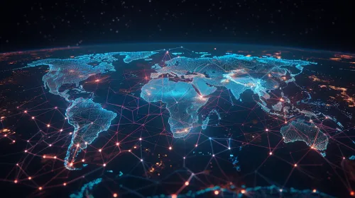
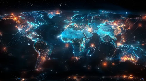
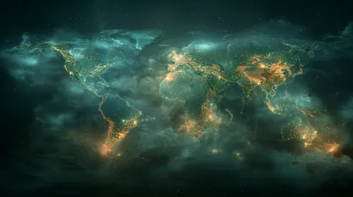
Global network with illuminated continents and cities
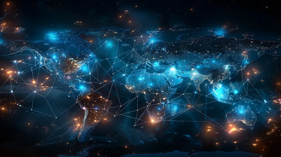
The image presents a map of the world, where continents and major cities are highlighted by bright lights. Based on the visualization, it is noticeable that connecting lines link different regions, creating the impression of a global network. The background color of the image is dark, which makes the bright lights and lines more expressive. These elements create an effect of a technological environment, as if the Earth is wrapped in a network symbolizing connections and communications.
The world map is illuminated with varying intensity, where populated areas stand out the most, reflecting their significance and activity. The lines connecting various points represent the ties between countries and continents, emphasizing the interconnectedness of the modern world. The image also features starry elements, creating an atmosphere of infinity and modernity.
This image can be used in various fields, such as technology, communication, research, and business. It is suitable for the design of articles, presentations, and reports related to globalization, internet technologies, and international economics. Additionally, this image can serve as a background for various events aimed at discussing global connections and the technologies of the future.
Furthermore, it can be used in educational materials to highlight the importance of international cooperation and the interconnections of countries in various areas, such as economics, culture, and technology.


