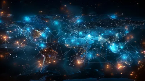
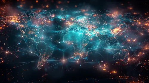
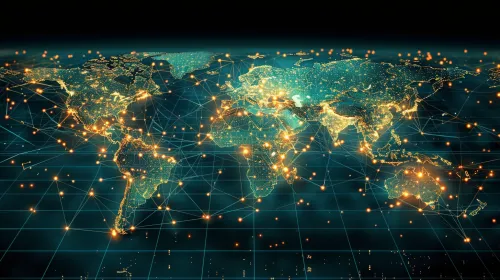
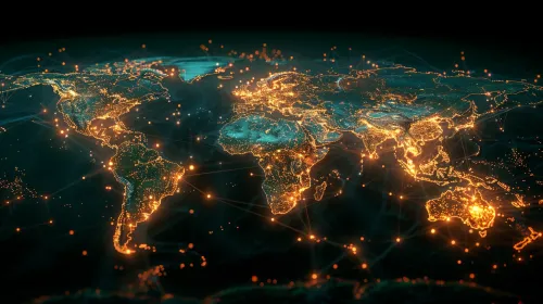
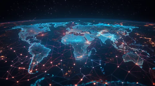
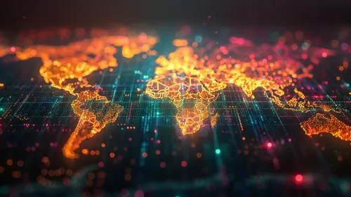
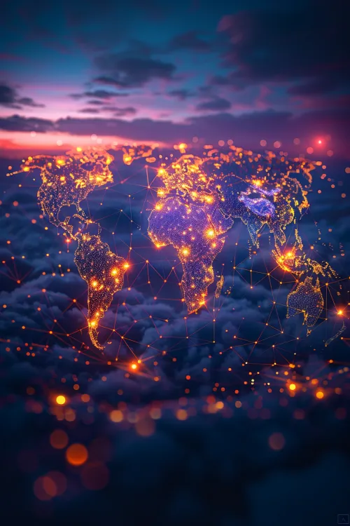
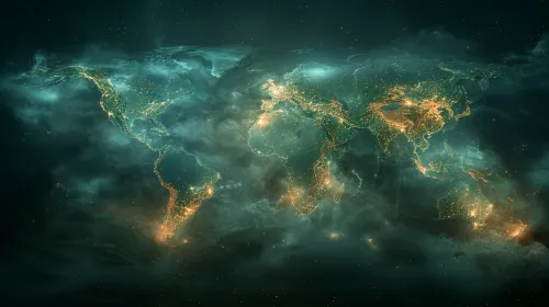
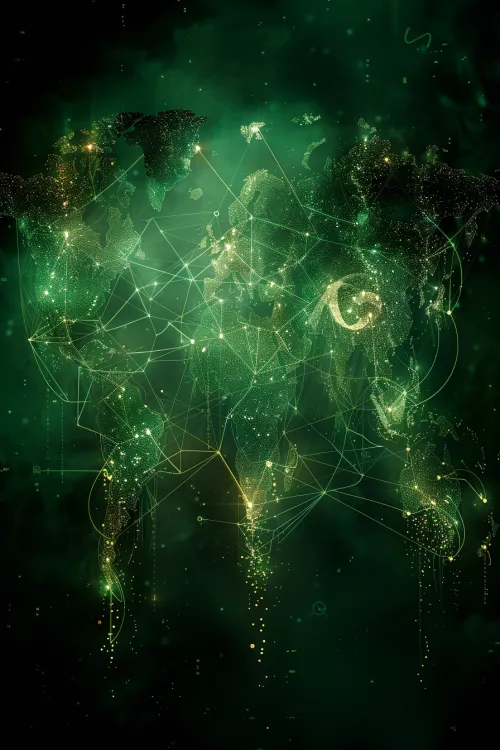
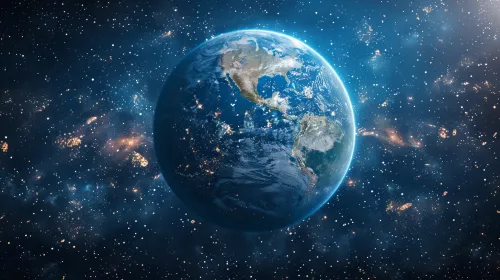
Global Network: A Digital Map of the World at Night

The image is an artistic visualization of a world map, created in high resolution. The continents are brightly illuminated in warm and cool tones, creating the impression of a nighttime panorama. Bright points on the map represent populated areas, while glowing lines symbolize transportation and connections between them. The background texture adds depth to the image, creating a sense of volume and space. Such images can be used to illustrate themes related to globalization, information technology, and the development of transportation routes.
This image can be applied in various contexts: for example, in educational projects on geography for a visual representation of the world; in business presentations that emphasize global connections and networking technologies; in scientific articles dedicated to modern technologies and their impact on societal development. The image can also be used for website design or promotional materials for companies operating in the fields of information technology, logistics, and international business.


