Skip to main content
world map
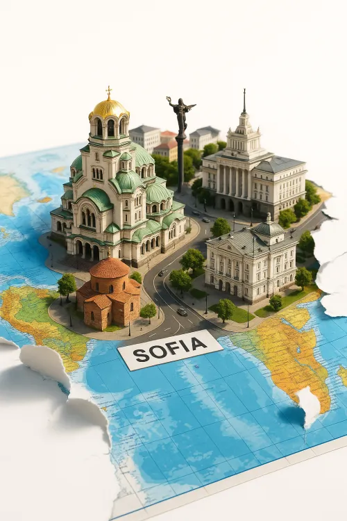
Model of Sofia on the World Map
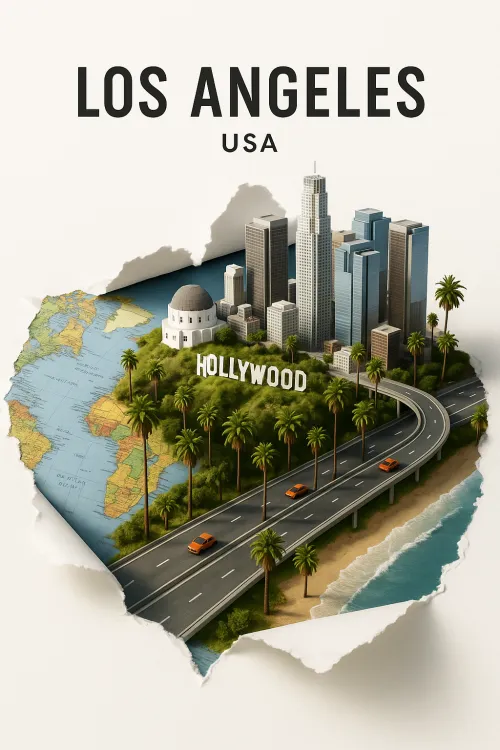
Los Angeles: The City of Angels in Miniature
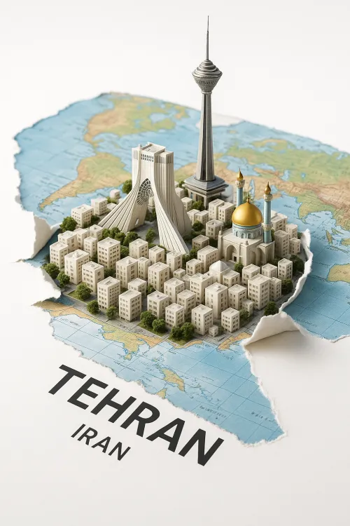
Tehran Model on the World Map
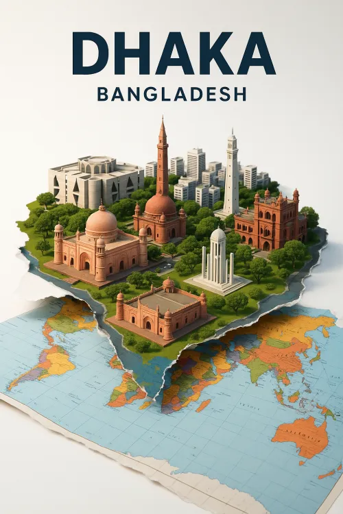
Dhaka: A City of Cultural Heritage and Modernity
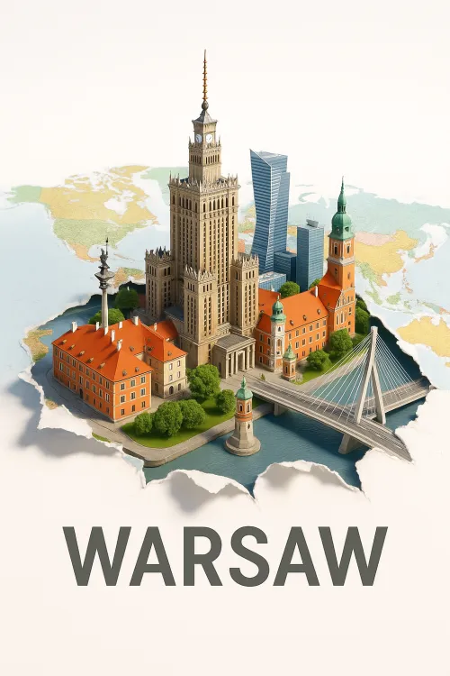
Model of Warsaw with Historical Buildings and a Bridge
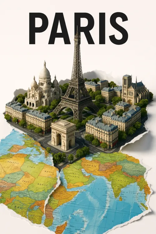
Miracles of Paris Architecture in Miniature
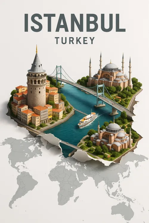
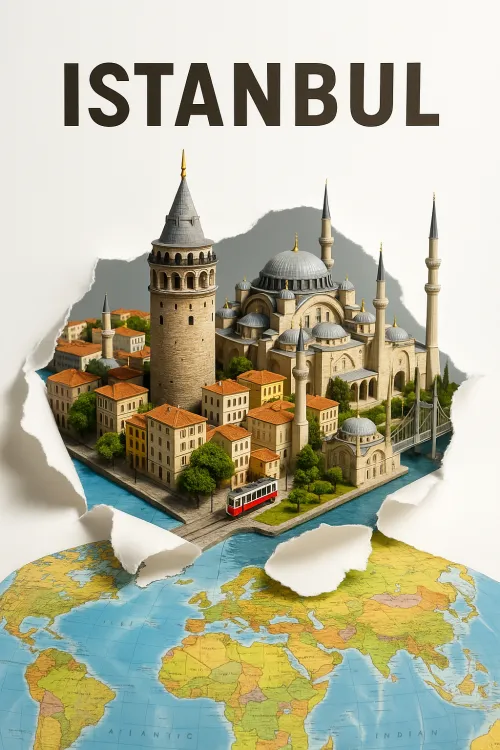
Illustration of Famous Landmarks in Istanbul
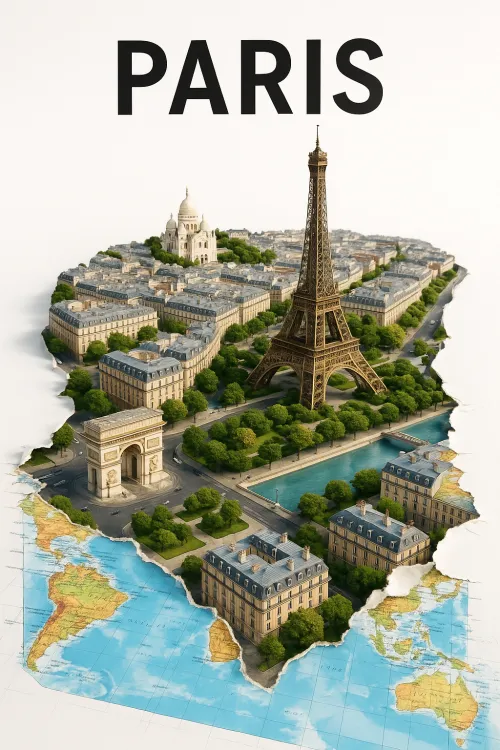
Paris in 3D: Architecture and Map
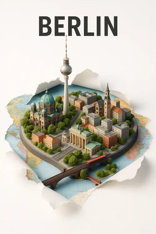
Berlin Model with Famous Landmarks
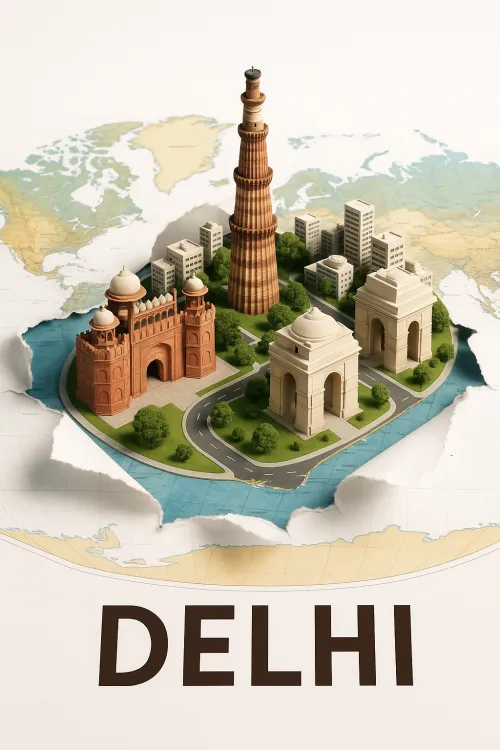
Famous Monuments of Delhi in Miniature
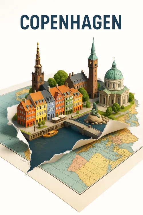
Copenhagen: Model of the City on the Map
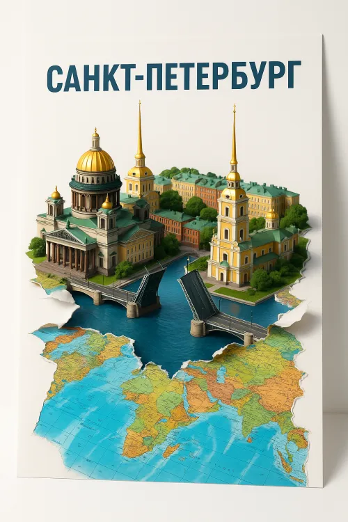
Model of St. Petersburg with a World Map
Image of Istanbul with model elements
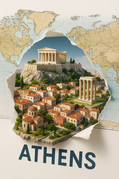
Athens: The Cultural Heritage of Ancient Greece
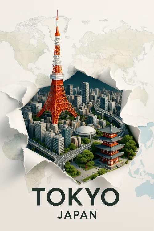
View of Tokyo: Symbols of Japan and Modern Architecture
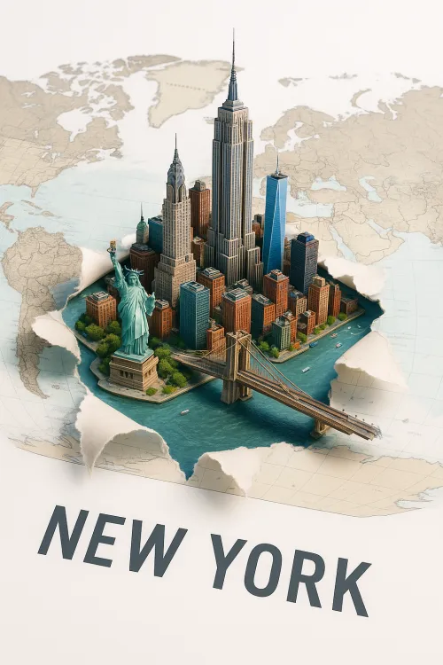
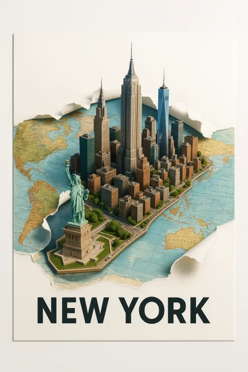
3D Model of New York Against the World Map
City of Contrasts: New York in Miniature
Glowing Lines and Outlines of the Map of America
Here you may place your ADS.
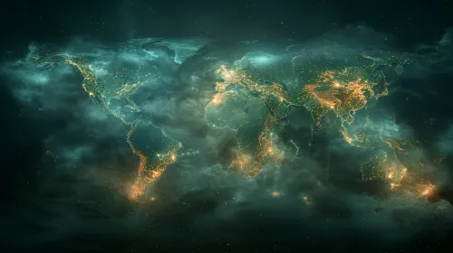
Shimmering Light Map on the Globe
Globe with Elements of Digital Technology and Light
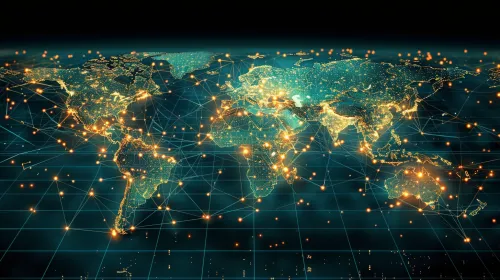
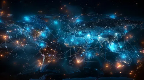
Global Network: A Digital Map of the World at Night
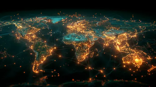
Globe with Network Visualization of Bright Spots
World Map in Digital Format with Glowing Elements
Illuminated Globe: Virtual Map of the Earth
Lights of the World Against a Starry Sky
Globe with Digital Effects and Networks
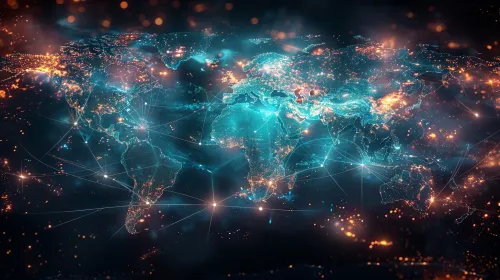
Global Network: Visualizing the World in Digital Format
Global network with illuminated continents and cities
Digital Map of the World with Points of Light
Global Map with Network Connections
Global Network in Digital Space
Origami Paper Boat on the World Map